 |
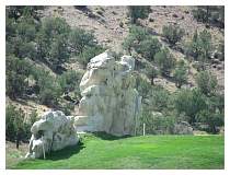
Här har man förbättrat vad moder natur har gjort, med lite vit färg
The rock have get a makeover whit white paint
800x600x24(RGB)
2006-08-08 14:53:58 |
|
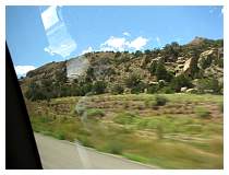 |
På väg igen längs I-70
On the road agin I-70
800x600x24(RGB)
2006-08-08 15:23:24 |
|
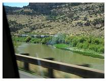 |
Några godsvagnar stående på järnvägspåret på andra sidan av Coloradofloden
On a railtrack on the other sie of Colorado River we can see some goods waggon
800x600x24(RGB)
2006-08-08 15:37:32 |
|
 |
800x600x24(RGB)
2006-08-08 15:39:16
|
|
 |
800x600x24(RGB)
2006-08-08 15:49:56
|
|
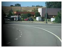 |
Någonstans i närheten av Grand Junction
Somewhere near Grand Junction
800x600x24(RGB)
2006-08-08 15:56:00 |
|
 |
800x600x24(RGB)
2006-08-08 15:58:18
|
|
 |
800x600x24(RGB)
2006-08-08 16:01:01
|
|
 |
800x600x24(RGB)
2006-08-08 16:02:26
|
|
Welcome to Utha / USA Day 4 |
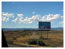 |
Utha statsgräns
Utha State boundary
800x600x24(RGB)
2006-08-08 17:48:47 |
|
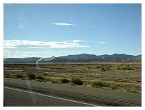 |
I-70 / Gand Valley UT - Book Cliffs
800x600x24(RGB)
2006-08-08 18:17:06 |
|
 |
800x600x24(RGB)
2006-08-08 18:19:19
|
|
 |
800x600x24(RGB)
2006-08-08 18:20:23
|
|
 |
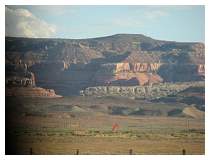
U.S-191 Salt Valley
U.S. huvudväg eller U.S landsvägar. Dessa vägar kordineras mellan staterna och kallas ibland federal landsväg, men de underhålls av staten eller lokala myndigheter sedan 1926
U.S-191 - UT Salt Valley
U.S. Routes or U.S. Highways. As these highways were coordinated among the states, they are sometimes referred to as Federal Highways, but they have always been maintained by state or local governments since their initial designation in 1926.
800x600x24(RGB)
2006-08-08 19:04:12 |
|
 |
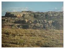
Corthuse Pasture
800x600x24(RGB)
2006-08-08 19:05:56 |
|
 |
800x600x24(RGB)
2006-08-08 19:08:08
|
|
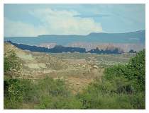 |
US-191 - Clondike Bluffs
800x600x24(RGB)
2006-08-08 19:09:48 |
|
 |
800x600x24(RGB)
2006-08-08 19:14:12
|
|
Around Arches NP / USA day 4 - 6 |
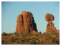 |
Balanced Rock ("Balanserad sten") är en de formationer av sandsten man kan finna i Arches National Park Moab Utha, men det finns också mer än 2000 naturliga sanstensbågar bevarade i parken, platsen är en "bergsöken" där höjden variera mellan 4.085ft till 5.653 ft (1200 - 1700 m.ö.h.). Klimatet variera mellan mycket varam sommra och kalla vintrar och mycket lite nederbörd. Temparturen kan variera med 50°F. (±10°C) under dagen.
Balanced Rock some of the formation in sandston you can finde in Arches National Park, the park also preserves over 2,000 natural sandstone arches, and located in a "high desert," with elevations ranging from 4,085 to 5,653 feet above sea level. The climate is one of very hot summers, cold winters and very little rainfall. Even on a daily basis, temperatures may fluctuate as much as 50°F.
800x600x24(RGB)
2006-08-08 19:35:34 |
|
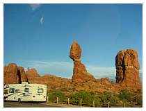 |
Man har gjort flera parkeringar ut med vägen upp till vårt slutmål som är "djävulens trädgård" campingplats där vi ska campa i 4 dagar. Från parkentren till campingen är det ca 19 mi (31 km).
We are heading towards Devile's Garden Campground ther shall we camp for 4 days. Distance from the park entrance are abut 19 mi (31km) there are several of parkings along the road.
Home page NPS
Arches National Park Page
Utah - Arches National Park
800x600x24(RGB)
2006-08-08 19:36:18 |
|
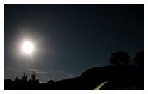 |
I mörkret kan fyra träd förvandlas till "Tre ryttare till häst på väg hem till ranchen" eller
I the darknes you can mistake some tree for the cowboys heading home to the ranch or
637x395x24(RGB)
2006-08-08 22:07:58 |
|
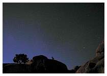 |
en varge som ylar mot månen
a wolf howel to the moon
637x442x24(RGB)
2006-08-08 22:10:26 |
|
 |
640x480x24(RGB)
2006-08-08 22:28:58
|
|
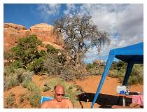 |
Daniel sitter och läser, i morgonsolen
Daniel relax and read in the morning sun
800x600x24(RGB)
2006-08-09 08:21:28 |
|


